In the 1920s, with the mass production of the automobile, families began to take road vacations. California and the West were isolated from the rest of the country because many roads were unmarked, not kept up, and often stopped at the foot of the mountains. Congress was persuaded to change this by building a national paved road from Chicago to Los Angeles. Route 66 was completed in 1926.
Route 66 has been popularized in American culture through books, songs, magazines, movies, and television shows.
If you ever plan to motor west,
Travel my way, take the highway that is best.
Get your kicks on route sixty-six.
It winds from Chicago to LA,
More than two thousand miles all the way.
Get your kicks on route sixty-six.
— Bobby Troup (1918-1999) American actor, jazz pianist, singer, and songwriter
Planning our 2024 Vacation
My husband and I traveled parts of Route 66 years ago on two trips to California: Palm Springs in 2001 for a handbell convention and in 2004 to Santa Maria where we began a trip up the coastal highway to visit friends in Bellingham, Washington. I don’t remember exactly which parts we drove. Maybe, Texas, Arizona, and California in 2001 and just Arizona in 2004? I do remember that the road was exciting and exhilarating! Roads used to follow the topography of the terrain. They would curve with the hills and dip with the depressions in the landscape. This makes the car go up and down and bounce around. I had forgotten the memory of car rides being like that back in the 1960s, but it was an old, familiar feeling.
For our recent trip to California, we thought about finding portions of Route 66 to travel again. However, before we left Birmingham, we never looked or settled on any part to take for this trip.
When we got to our hotel in Flagstaff, Arizona, there was a large brochure rack in the lobby. I idly looked over the offerings while Gary unloaded our car. I did not see anything interesting.
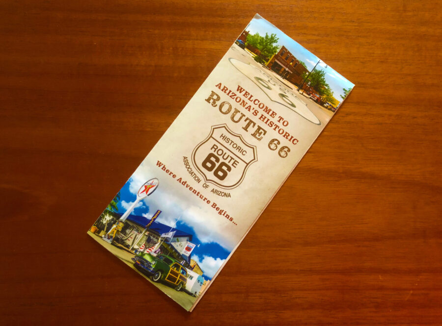
Oddly enough, later that evening, I happened to glance over at the display again and one brochure jumped out at me: “Welcome to Arizona’s Historic Route 66. . . Where Adventure Begins . . .” I took the brochure up to our room and forgot all about it.
Later, Gary found the brochure while looking for something else in my stash of stuff. The brochure map showed how Route 66 diverged and merged with I-40 from Lupton to Topock/Golden Shores just across the border from California. The longest continuous stretch of Route 66 runs from Seligman to Kingman. It looked easy to leave Flagstaff, drive on the interstate a bit and then get on Route 66 at Seligman and drive to Kingman where we would get back on I-40.
The brochure did not describe Route 66 after Kingman. It merely showed how the road ran from Kingman to Cool Springs and Oatman. It said nothing about Sitgreaves Pass.
For our 2004 trip I had bought a book that describes the complete Route 66. I brought it on this trip and read the part about the road between Seligman and Topock. Here is the description of Sitgreaves Pass:
“This segment of old route 66 is also just the ticket for drivers or riders with an affinity for switchbacks. And if you fancy yourself something of a canyon buster, the run over Sitgreaves Pass into Oatman may be just what you’ve been waiting for. Especially if you’ve dreamed of the twisties on the famous Stelvio Road in the Alps . . . it’s often said that the highway surface, curves, and gradients are a miniature version of the Stelvio run.”
— Tom Synder, Route 66 Traveler’s Guide and Roadside Companion, 2000, St. Martin’s Griffin, New York
We decided not to travel that part of Route 66 past Kingman.
Unexpected Excursion
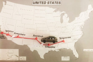
The next morning we began our trek toward Barstow, California on Interstate 40. We got off at Seligman and took Route 66. It was a lovely drive—mostly flat and straight with sections that went through towns that still had some of the original buildings advertising gas, food, and motels.


When we got to Kingman we stopped for lunch. After lunch we got back on Route 66. Gary passed the entrance to I-40 and just kept driving. I told him, “This next part of the road is demanding, with lots of switchbacks. Are you sure you want to drive this part?” After a few minutes I said, “ Well, we have driven winding roads with switchbacks in Tennessee and North Carolina. Surely this would not be much different.”


Sometimes the most scenic roads in life are the detours you didn’t mean to take.
— Angela N. Blount, author, freelance editor, sporadic poet, and webcomic artist
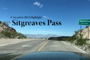
Sitgreaves Pass (191 curves in 8 miles and no guardrails)


We soon discovered that this portion of Route 66 was nothing like we had ever driven. Because there were no shoulders or guardrails there was no room for driver error. As we progressed up the mountain to Sitgreaves Pass, the elevation of the road became higher and higher. The steep drop-offs plunged a thousand feet down. On some switchbacks, as we were going around a curve, we could only see sky ahead of us and nothing else. It took complete trust that if you stayed in your lane . . . there was more road to come, and you would not fall off the mountain!

About three quarters the way up the mountain the views to our right were spectacular—a large valley below with mountains beyond that. My pictures fail to capture the depth and breadth of the terrain. It was breathtaking. Poor Gary was busy driving and could not avert his eyes to look over and see the view. I told him, “Just drive. I will take pictures.” We had our car cam video going, so we have a wonderful (shaky iPhone) video of this excursion on YouTube.

Finally, we got to the top and breathed a sigh of relief. Sitgreaves Pass is located between Kingman and Oatman, on the western border of Arizona, high in the Black Mountains. The summit of Sitgreaves Pass, at an elevation of 3550 ft., affords quite a view of the surrounding country.

It soon became apparent that the road down the other side was just as narrow and treacherous. We finally made it to the bottom and reached the little mining town of Oatman. The streets were so filled with cars and people that we could barely get through.


One thing that makes this town unique is the wild burros that wander through the streets. They were originally brought to Oatman to be used in the mines as well as hauling items around the town. When the miners left, they released the burros into the mountains. Now there are thousands of burros.
We didn’t see any in town, but, sure enough, after we made it through Oatman, we came across two burros!


After the Drive
We later found this description of Sitgreaves Pass on dangerousroads.org.
Description on dangerousroads.org
Sitgreaves Pass in Arizona is a fabulous road if you are not scared of heights. Sitgreaves Pass is a mountain pass at an elevation of 1,096m (3,595ft) [sic] above sea level, located in Mohave County, in the U.S. state of Arizona. Very few guardrails give you no leeway for error.
The road is pretty narrow, very curvy, with lots of blind hairpin turns and no shoulders. It’s a fabulous drive if you are not scared of heights or of tumbling down a mountainside. In many places, there are only a few wooden fence posts and a piece of chain between you and the drop over the edge of the mountain.
This road is built like a bobsled run, with crazy switchbacks and steep drop-offs plunging thousands of feet down. It is slow going, with some of the winding sections slowing down to 20mph. The road is steep, hitting a 12% maximum gradient through some of the ramps. You’ll be fine in normal vehicles, but larger RVs are going to have serious issues. Don’t take this road in bad weather, and do not attempt it after dark.
In order to avoid the mountains, Route 66 should have gone to the south in Arizona, as I-40 and I-10 do today. However, the town of Oatman, Arizona was a thriving gold-mining community with more than 15,000 people. The business owners persuaded the builders to put the road through Oatman. This meant the road had to be built through Sitgreaves Pass—though not all that high, it is very steep.
I found it hard to believe that this road over the mountain was a regular road for people to travel—but it was! Finally, in 1953, this part of Route 66 was bypassed with a new straighter alignment.

More About Route 66
Route 66 went through many improvements and realignments during its lifetime. The Federal Highway Act of 1956 signaled the death Route 66. Gradually newer segments which were safer and faster replaced the old road. The final demise was the completion of the Interstate Highway System. U.S. Route 66 was officially removed from the United States Highway System on June 27, 1985. It was replaced by five Interstates: I-55 southbound from Chicago, I-44 across Missouri and Oklahoma, I-40 in Oklahoma, Texas, New Mexico, and Arizona, I-15 and I-10 into Los Angeles.
As of 2024, several states recognize the historical significance of the road, and have marked it with “66” in the state highway number. “Historic Route 66 Associations” are active in several states. The road is a major tourist attraction and it still traverses dozens of small towns with vintage gas stations, diners, motels, quirky tourist attractions, museums, stunning vistas, and gift shops.
I recommend traveling Route 66 if you get the opportunity. Even our adventure through Sitgreaves Pass was totally worth the drive!
It is good to have an end to journey toward; but it is the journey that matters, in the end.
— Ursula K. Le Guin (1929-2018) American author
quote from: The Left Hand of Darkness


Leave a Reply
Your email is safe with us.